'%20fill='%23FB923C'/%3e%3c/svg%3e)
Functions/Cloudburst and Water Risks
The full water risk profile — in minutes instead of days
Cloudbursts, floods, watercourses, coastal risks, water protection areas, and drainage collected on one map — classified per property via the Atrax model 2.0.
RISK ASSESSMENT · ATRAX MODEL 2.0
From raw data to classified risk — and to action
No AI guesswork. We retrieve fresh data from trusted authorities. We run it through the Atrax Model. Each property is classified according to open criteria. Climate actions are then set in motion in Kliva Pipeline.
Cloudburst maps are distributed across Sweden's municipalities and counties. We consolidate everything in one place. This allows faster handling, fewer clicks, and fewer browser tabs, linked directly to the property. We continuously synchronize data from official authorities across the Nordics, always using the most detailed and current data available locally.
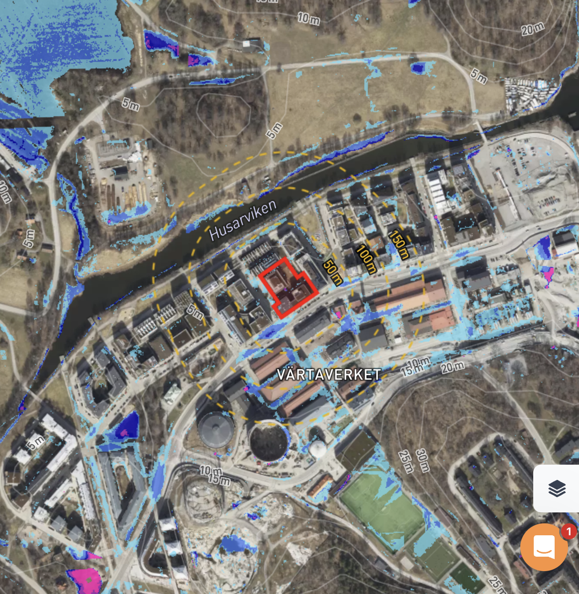
With one click, visualize the municipality's cloudburst mapping and get an immediate overview of the situation. Based on ground levels, drainage capacity, and the property's physical attributes, vulnerability is modeled. We calculate where water actually collects and where it risks causing damage.
Is there water within the property's boundaries? The Atrax model is used to classify the risk from low to high. This provides transparent information on whether there are nearby areas where water collects. It creates comparable data for the entire portfolio and forms the basis for your climate adaptation plan.
What you get
All key information, gathered in one feed
Cloudburst and Water Risks kopplar ihop data och analys så att teamet kan gå från insikt till beslut med mindre handpåläggning.
Coastal, fluvial, and pluvial flooding
Water bodies and water protection areas
Areas with drainage prohibition
50-, 100- and 200-year flood levels, and BHF
Special risk layers — for example, Lake Mälaren
Current climate and future climate scenarios
200+ pluvial flood mappings — coverage continuously expanding
'%20fill='%23FB923C'/%3e%3c/svg%3e)